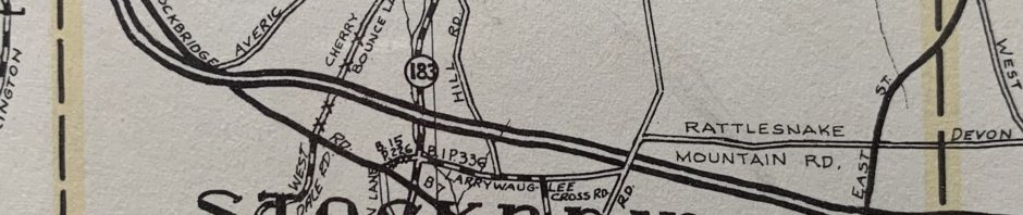
The “Map of Berkshire County”, first produced in January 1937, and revised many times between then and 1988, is a valuable tool to research the history of roads. The map provides an indication of whether a road is a town road, a county road, a state road, or a private road, and even suggests when a county or town road has been “discontinued by vote” or “abandoned for use”. In the case of county roads, the map also provides a book and page number from the County Commissioners’ records which can be used, in many cases, to find a transcription of the original layout description. Although we have occasionally found errors on the plan, we nonetheless regularly use it as a first step in evaluating road status. Pay particular attention to the Legend when using this plan.